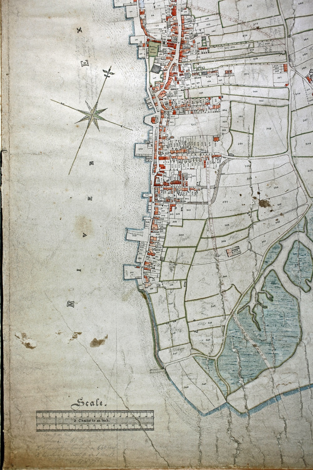
Topsham town map
- Description
- Henry Troake's map of Topsham was first published in 1836. This issue was published in 1842. It was made for churchwarden Francis Davy prior to the Topsham Improvement Act of 1843. It features numbered plots and has a related index.
- Accession Loan No.
- 104.1
- Common Name
- Topsham town map
- Simple Name
- Topsham town map
- Full Name
- Henry Troake's map of Topsham
- Period Classification
- William IV (1830-1837)
- Production Date
- 1836